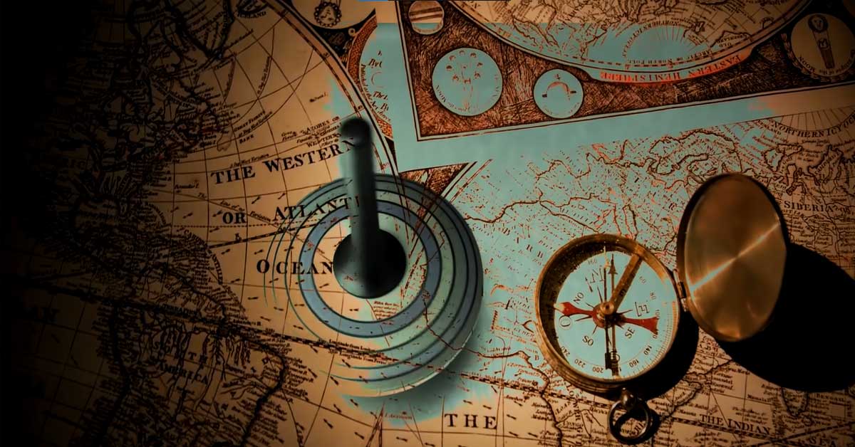
Have you ever needed clarification about how your GPS device can deliver accurate directions when traveling across unfamiliar terrain? The secret lies in Albert Einstein's Theory of Relativity and Global Positioning System (GPS) technology, two fields with intricate yet connected mechanisms. While Einstein is well known for his insights into understanding our universe's fabric, his theory can also have unexpected applications regarding navigation and daily living.
Unleash your inner adventurer as we embark on an exhilarating voyage as we discover the secrets of GPS accuracy, including how Einstein's Theory of Relativity equips it to guide our travels across this incredible planet! Experience how science and technology come together, resulting in navigation tools shaped by one man who forever altered human understanding of spacetime Einstein himself.
GPS - A Brief History
The journey of GPS began with the launch of its first satellite, Navstar 1, on February 22nd, 1978, paving the way for a revolutionary navigation system. Over the next seven years, ten more satellites successfully joined the GPS constellation, solidifying its position as a groundbreaking technology.
One of the key features of GPS is its ability to ensure direct line-of-sight communication with any point on the Earth's surface. This is achieved through a process called trilateration. By having at least four satellites in view, GPS receivers can determine their precise location by measuring the time it takes for signals to travel from the satellites to the receiver.
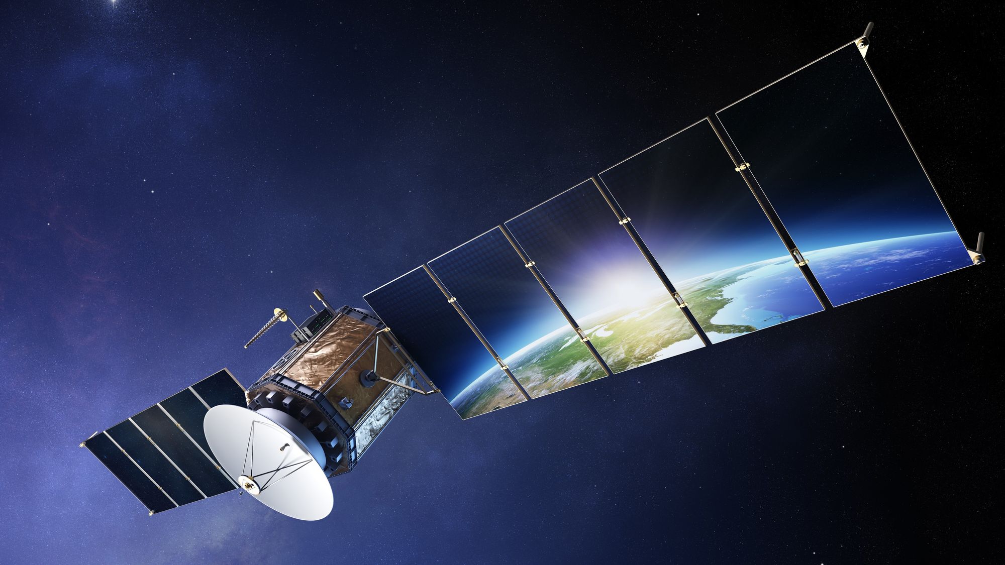
At the heart of this incredible system are the GPS satellites themselves. These orbiting beacons transmit radio signals that are the foundation for GPS navigation. The signals, traveling at the speed of light, allow GPS receivers in phones, vehicles, and other devices to calculate their distance from the satellites.
The beauty of GPS lies in its ability to harness these radio signals to determine accurate distances. By analyzing the time it takes for the signals to reach the receiver, GPS devices can calculate the distance based on the known speed of light. This fundamental principle enables us to pinpoint our location with remarkable precision.
From its military origins to its widespread civilian use, GPS has become an indispensable tool in our modern world. The historical development and advancements in GPS technology have laid the foundation for countless applications, ranging from turn-by-turn directions on smartphones to facilitating the navigation of driverless cars.
Time and Relativity in GPS
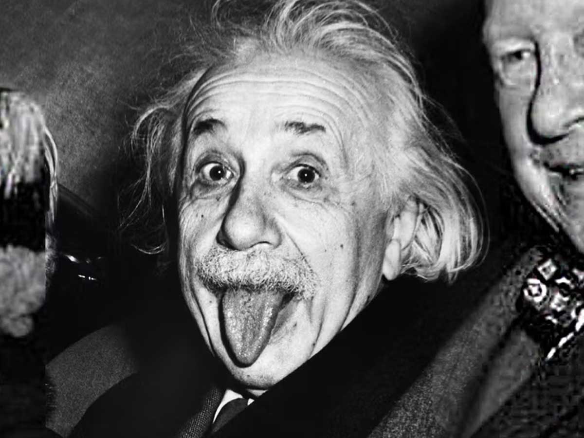
The Theory of Relativity, famously introduced by the brilliant mind of Albert Einstein, holds immense significance in our quest to comprehend the workings of the universe. Moreover, this encompassing theory, comprised of the Special Theory of Relativity and the General Theory of Relativity, extends its influence beyond theoretical realms and directly impacts our daily lives, even making its mark on the Global Positioning System (GPS).
When we delve into the intricate world of GPS, we uncover a captivating interplay between the dimensions of time and relativity. The GPS system operates through a meticulously designed network of satellite systems gracefully orbiting our planet. These satellites, positioned at a considerable distance above the Earth's surface, diligently act as celestial beacons, faithfully transmitting radio signals to the GPS receivers we rely on.
Within the Special Theory of Relativity realm, a fascinating phenomenon known as time dilation comes into play. This intriguing concept manifests in fast-moving objects, where time seems to undergo a peculiar slow-down. Consequently, the atomic clocks meticulously ticking away aboard GPS satellites experience subtle disparities due to their swift velocities. Although seemingly minuscule, this time dilation effect has a tangible impact on the overall accuracy of GPS clocks.
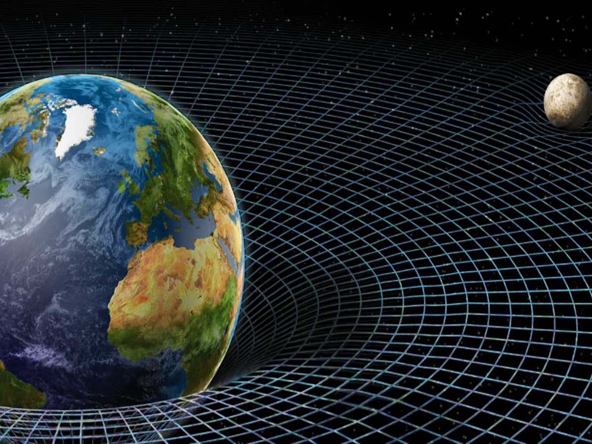
Venturing further into the General Theory of Relativity domain, we encounter yet another force influencing the passage of time, gravity fields. GPS satellites, adorning orbits farther away from the Earth's surface, find themselves under the influence of comparatively weaker gravitational forces than those we experience below. Consequently, time elapses slightly faster for these satellites, introducing yet another intriguing dimension to the labyrinthine intricacies of GPS accuracy.
The accuracy of GPS, as we perceive it, emerges from the harmonious interaction of both the Special and General Theories of Relativity. However, the subtle yet significant time differences within the atomic clocks aboard GPS satellites, stemming from the aforementioned relativistic effects, hold the potential to create minute discrepancies in location readings. To counteract this, a team of meticulous engineers diligently calibrates the atomic clocks housed within the GPS satellites, ensuring the unwavering precision required for accurate location calculations.
Opening GPS for Civilian Use
Regarding the utilization of GPS, legitimate concerns have been raised about its potential misapplication in military contexts. Given this technology's remarkable accuracy and capabilities, it's only natural that such apprehensions would arise. The ability to precisely determine locations could have significant implications in various military operations involving aircraft, ships, and personnel. Consequently, during the early stages of GPS development, access to the system was shrouded in secrecy and limited for civilians.

However, a turning point occurred in 1983 with a momentous announcement by President Ronald Reagan. Recognizing the importance and potential benefits of GPS for civilian use, he declared that access to GPS would be extended to the general public. Nevertheless, there was a caveat. In order to address security concerns, the accuracy of civilian GPS was intentionally reduced. This meant that the location readings provided to civilians had a margin of error, limiting their precision to approximately 300 feet.
At the beginning of the new millennium, substantial changes took place in terms of civilians' access to accurate GPS. In 2000, President Bill Clinton signed a pivotal bill that marked a transformative milestone. This legislation ended the practice of signal scrambling that had previously hindered the accuracy of GPS readings for civilians. As a result, the doors swung open, granting the public access to accurate and reliable GPS in the United States and worldwide.

This decision had far-reaching implications, as accurate GPS became readily available for various civilian applications. From navigation systems in vehicles to location-based services on smartphones, the world eagerly embraced the immense possibilities brought forth by this technological breakthrough. People could now place greater confidence in GPS, knowing that their coordinates and directions were based on precise and dependable information.
Global Dependence and Concerns
In our increasingly interconnected world, the dependence on GPS has become pervasive, raising concerns about potential vulnerabilities and disruptions. One significant concern is the possibility of GPS signal jamming, where intentional interference can disrupt the transmission of GPS signals, leading to inaccurate or unavailable positioning information. Such incidents have occurred in the past, creating disruptions in navigation systems and impacting industries reliant on GPS technology.
To mitigate the risks associated with relying solely on a single GPS system, countries around the world have been working on building their own satellite navigation systems. For example, Russia developed GLONASS, the Global Navigation Satellite System, which provides positioning and timing services similar to GPS. China has also created BeiDou Navigation Satellite System, while the European Union established Galileo. These systems offer alternatives to GPS and strive to enhance global navigation capabilities while reducing dependency on a single system.
The applications of GPS are incredibly diverse and extend across various industries. In transportation, GPS plays a pivotal role in guiding navigation systems in cars, trucks, and airplanes, ensuring efficient routing and accurate tracking. It is instrumental in the logistics industry, optimizing delivery routes and improving supply chain management. In agriculture, GPS aids precision farming techniques, allowing farmers to precisely map fields, apply fertilizers, and monitor crop health. Emergency services rely on GPS for precise location information in dispatching assistance. Even everyday activities like hiking, fitness tracking, and geocaching have integrated GPS for location-based services.
Altitude and Speed Restrictions
GPS manufacturers have implemented height and speed limits on exportable GPS receivers, shaping the capabilities and usage of these devices. Initially, GPS was primarily a military technology with limited public access. The development of the Navstar GPS system by the US military marked a significant step towards a more advanced and versatile positioning system, paving the way for wider civilian use.
The decision to open GPS to the public was prompted by the tragic incident involving Korean Air Flight 007 in 1983. In response to security concerns, the US government introduced restrictions on civilian GPS access. These restrictions included partial signal scrambling, intentionally introducing errors to reduce the accuracy of civilian GPS receivers. The aim was to prevent unauthorized entities from misusing or interfering with GPS signals.
While GPS became accessible to the public, certain limitations remained in place. Exportable GPS receivers, designed for use outside the United States, were subject to specific altitude and speed restrictions. These limitations were implemented to prevent the use of GPS technology in intercontinental ballistic missile systems, ensuring that GPS would not contribute to the proliferation of advanced weaponry.
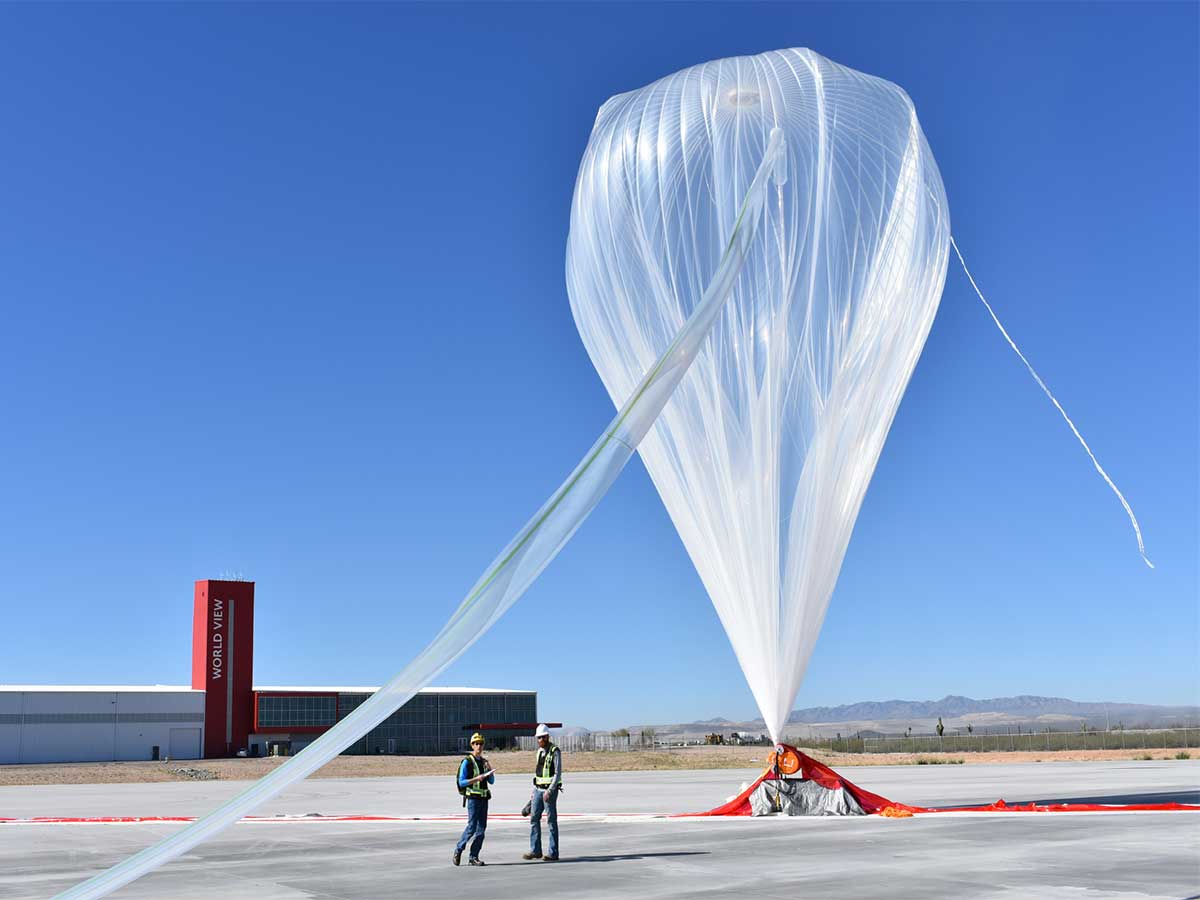
The primary impact of altitude and speed restrictions is felt by high-altitude balloon enthusiasts. This specific group engages in activities such as launching weather balloons or conducting scientific experiments at great heights. GPS receivers are programmed to shut down when they exceed certain thresholds, specifically 1,200 miles per hour or 60,000 feet. While these limitations may pose challenges for high-altitude balloon enthusiasts in terms of precise tracking and positioning, it is important to note that the removal of these restrictions has not been prioritized by GPS manufacturers or policymakers.
The broader public is minimally affected by these restrictions, as the majority of GPS users do not engage in activities that surpass the imposed altitude and speed limits. As a result, the push for removing these restrictions has not gained significant momentum. Instead, manufacturers and policymakers are focused on enhancing the overall accuracy, reliability, and accessibility of GPS for mainstream applications, aiming to provide improved functionality and benefits to a wide range of users.
As we acknowledge the integral role GPS plays in our modern world, let us also take a moment to marvel at the marvels of scientific discovery that underpin its existence. Whether we are finding our way back home after a long day, capturing memorable moments with geotagged photographs, or embarking on daring expeditions to the farthest corners of the Earth, GPS remains an ever-present companion, enriching our experiences and enabling us to navigate through life with confidence. Let us cherish the wonders of GPS and embrace the limitless possibilities it affords us in our pursuit of exploration and connectivity.
Sources: nasa.gov / doi.org / cam.ac.uk / gps.gov / nasa.gov / faa.gov / bloomberg.com