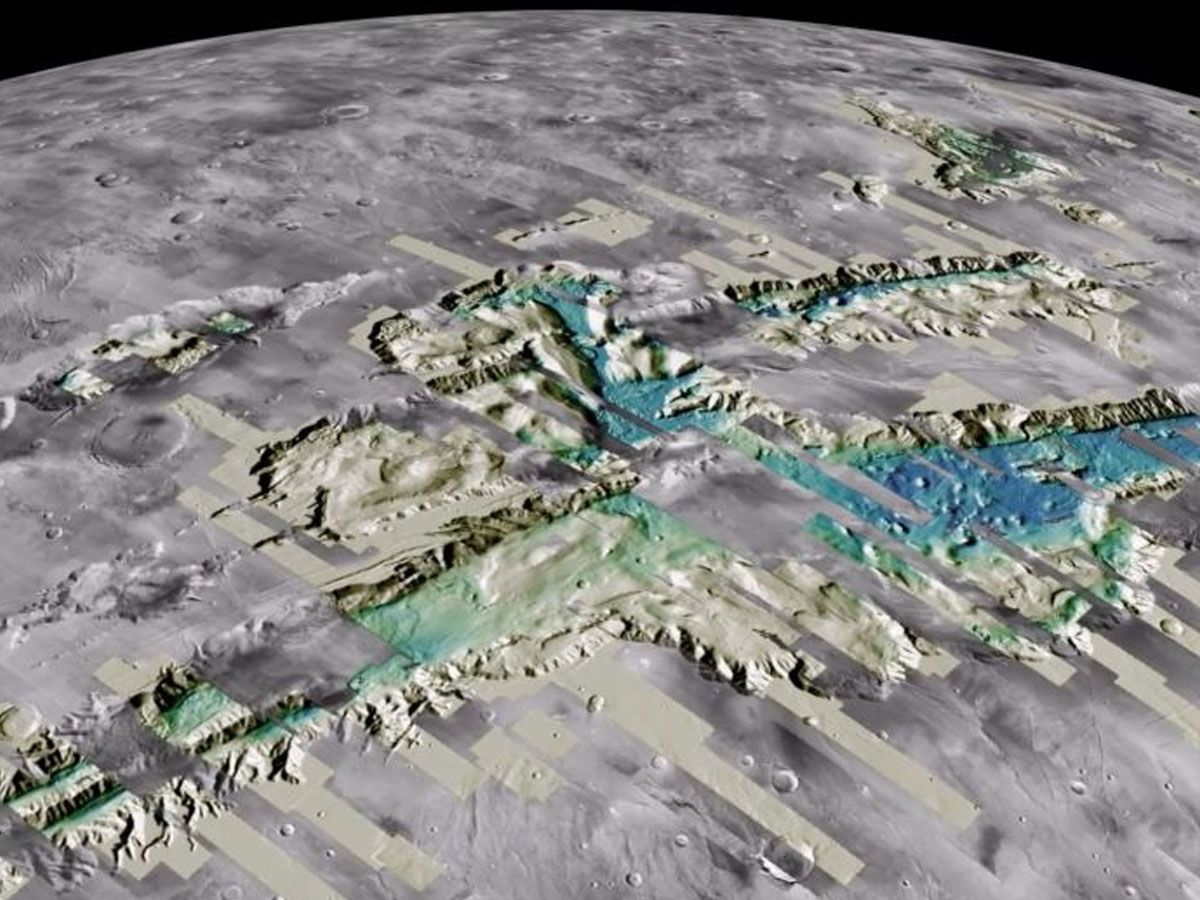
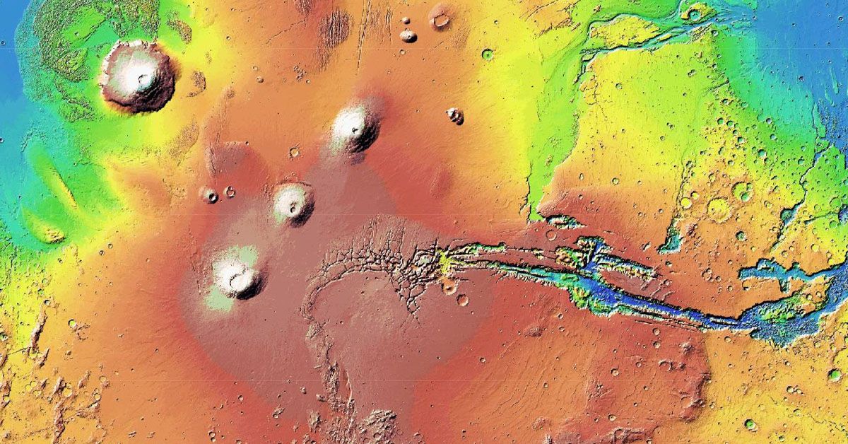
The introduction of a new Mars Map Archive has triggered a revolution in space science, offering unprecedented access to the alien landscapes of Mars. Crafted with meticulous data from NASA's Mars Reconnaissance Orbiter, this advanced three-dimensional map brings the Martian terrain to life in striking detail.
It's an innovative tool that's not just a game-changer for scientists, but a fascinating resource for anyone with a yearning to traverse the terrain of the red planet. But what does this map entail, and how might it transform our understanding of Mars?
Creation of the Mars Map Archive
This isn't merely a collection of graphics or doodles, but a comprehensive digital facsimile of Mars' terrain, courtesy of NASA's Mars Reconnaissance Orbiter.
This impressive machine has been orbiting Mars since 2006, relentlessly collecting precious details about the planet's exterior.
In constructing the Mars Map Archive, NASA researchers have tapped into this vast pool of information, carefully assembling a vibrant portrayal of the planet.
The result? A high-resolution, three-dimensional experience of Mars' terrain that reveals features as small as 25 cm across.
This isn't just a map—it's a whole new way to explore a distant planet, offering a level of detail that brings the viewer up close to Mars' mesmerizing landscapes.
High-Resolution Imaging Science Experiment (HiRISE) and its Challenges
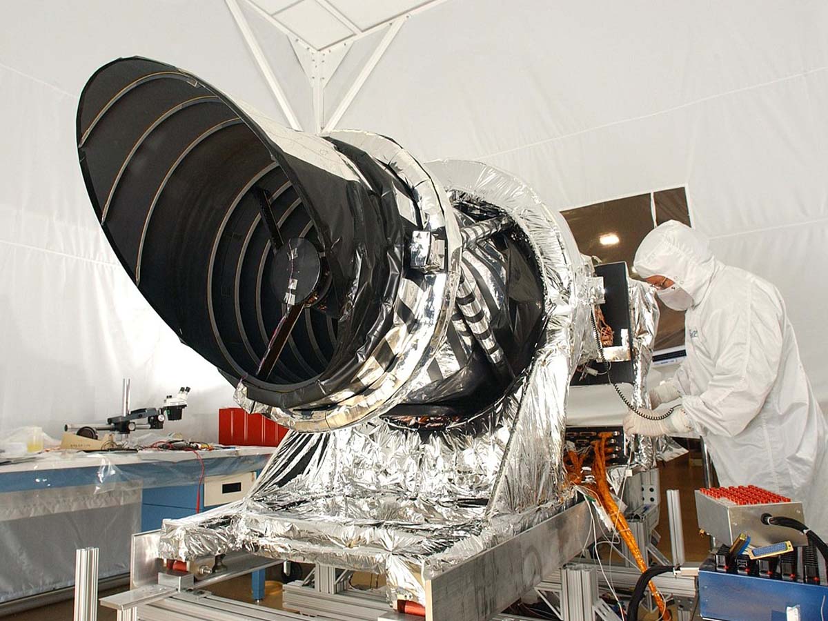
Functioning as a cosmic investigator, the High-Resolution Imaging Science Experiment, better known as HiRISE, aids us in deciphering the complex weave of Mars' landscapes.
Housed within the Mars Reconnaissance Orbiter, the HiRISE camera has been pivotal in acquiring more refined images of Mars' terrains.
These visuals, with an impressive resolution of 25 cm per pixel, are akin to having a high-powered microscope to scrutinize Mars, giving scientists an extraordinarily precise view of the planet's exterior.
However, managing the HiRISE system is not without its hurdles. The data files are significantly large due to the significant number and superior quality of the images it amasses.

The enormity of these files makes their processing and viewing an intricate procedure. It's similar to trying to peruse a gigantic book that overshadows your entire workspace!
Such extensive data necessitates substantial computational capacity and bespoke software, the management of which can pose its own set of complexities.
Overcoming these challenges, scientists have processed the colossal catalog of over 155,000 HiRISE images, equivalent to a staggering 114 TB of data!
Just imagine a stack of DVDs reaching over 160 feet high - that's roughly the height of the Tower of Pisa! Now, that's a lot of data!
The Mars Data and Its Hosting
Hosting such a gargantuan amount of data and making it freely accessible is a task not many can shoulder. But worry not! Amazon's Open Data Registry, an initiative that democratizes access to vast data sets, graciously hosts the Mars data.
It's like a colossal virtual library that anyone can visit, with the Mars Map Archive being one of its most prized collections. And the best part? It's open round the clock and absolutely free!

With such a wealth of information available, finding specific data might seem like searching for a needle in a haystack. But the U.S. Geological Survey (USGS) has developed efficient search tools to easily navigate this vast Martian landscape.
This comprehensive archive has the potential to redefine the applications of AI and machine learning in planetary science.
The highly detailed terrain models and high-resolution images provide the perfect data fodder for these advanced computational models.
These models can analyze Mars' terrain patterns, identify potential signs of past water flow or volcanic activity, and even assist in determining the best landing spots for future Mars missions.
Source: usgs.gov


